Which Kodaikanal viewpoint is the absolute best for first-timers?
+
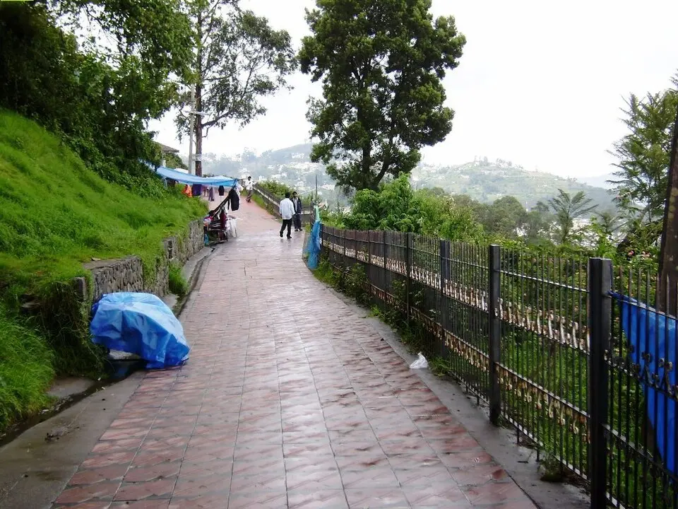
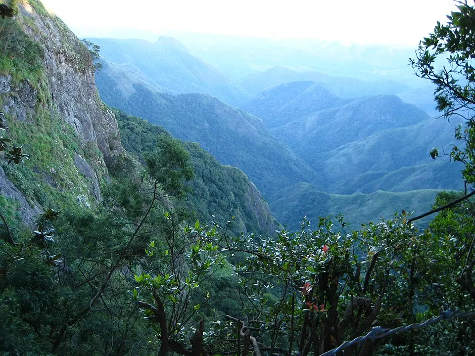
Coaker's Walk, without question — for a first visit. It is the closest to town, the most accessible for all age groups, the best-documented historically (built 1872), and offers the broadest valley panorama of all the road-accessible viewpoints. At ₹30, it costs less than a filter coffee. Visit at 7 AM, walk the full kilometre, use the telescope, and you've had the essential Kodaikanal viewpoint experience. Build everything else from that anchor.
How many viewpoints can I realistically see in one day?
+
5–6 of the 10 is realistic for a full day with an early start. The town circuit (Coaker's Walk, Upper Lake View, Green Valley View, Pillar Rocks) takes a morning. Dolphin's Nose is a half-day commitment on its own. Berijam Lake is a separate full morning. Mannavanur is a separate 3–4 hour day trip. The Solar Observatory opens only at 10 AM and doesn't combine naturally with the early-morning viewpoints. A 2-night / 3-day stay covers all 10 comfortably with the itinerary structure in the section above.
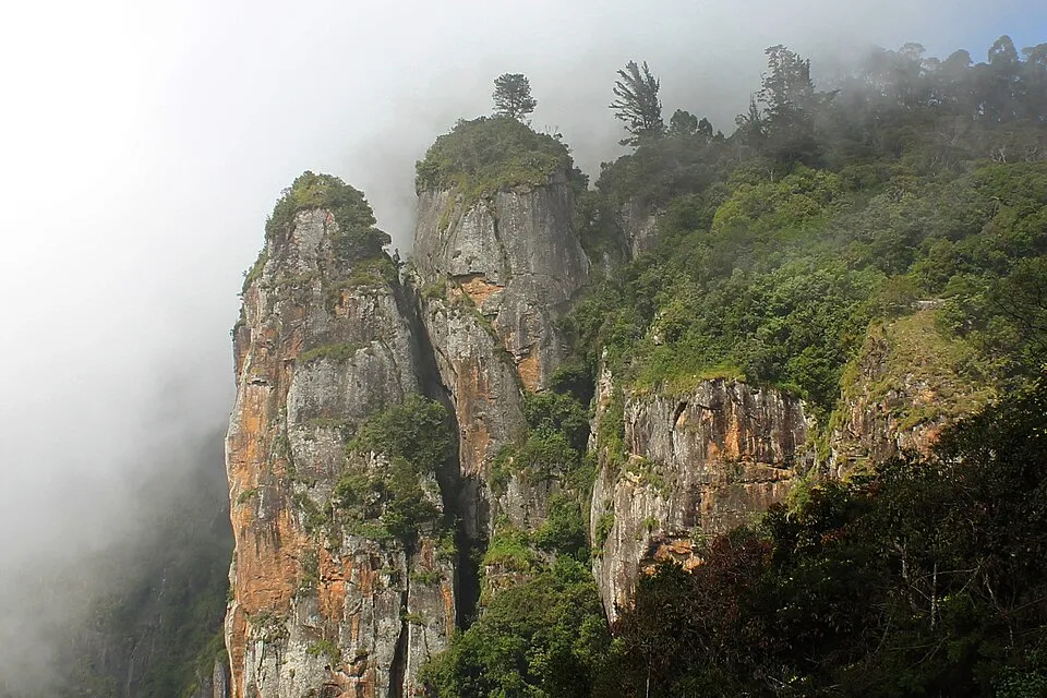
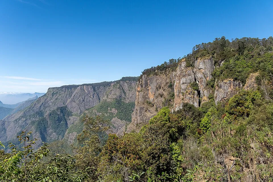
Is the Dolphin's Nose trek safe for children?
+
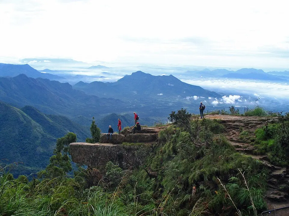
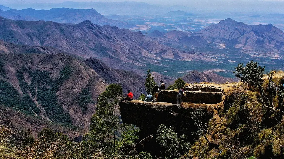
For older children (12+) with reasonable fitness and proper footwear, yes. For children under 8, no — the rocky trail with loose surface and the exposure at the top are not appropriate. Multiple TripAdvisor reviewers specifically note "wear proper footwear" as essential advice. The return uphill is harder than the descent. Parents should assess their children's fitness and footwear before committing. The road-end point at Pambar Bridge offers a partial view without the full trek if needed.
Do I need to book Berijam Lake permits in advance or on the day?
+
On the day — permits are issued between 8:30–9:30 AM at the Forest Department office in Kodaikanal town on the morning of your visit. There is no advance booking system. Arrive by 8:15 AM as the daily cap is approximately 50 vehicles (announced August 2023) and local vehicles get preference. Bring ID proof, vehicle documents, driving licence, and ₹250 cash (car rate). Many travellers ask their hotel to arrange this via a local taxi driver the previous evening — the driver handles the permit paperwork at the Forest Office while you have breakfast. If elephant movement is detected, the day's entry is cancelled — have a backup plan.
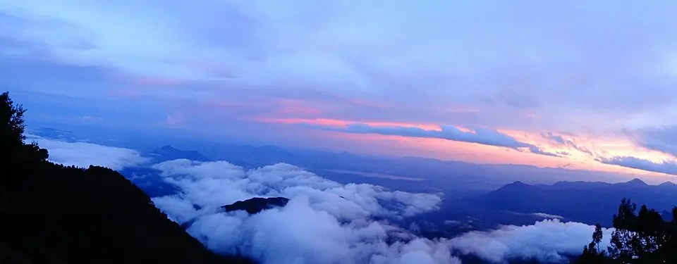
Which viewpoint is best for sunset in Kodaikanal?
+
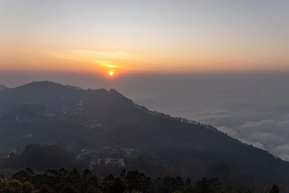
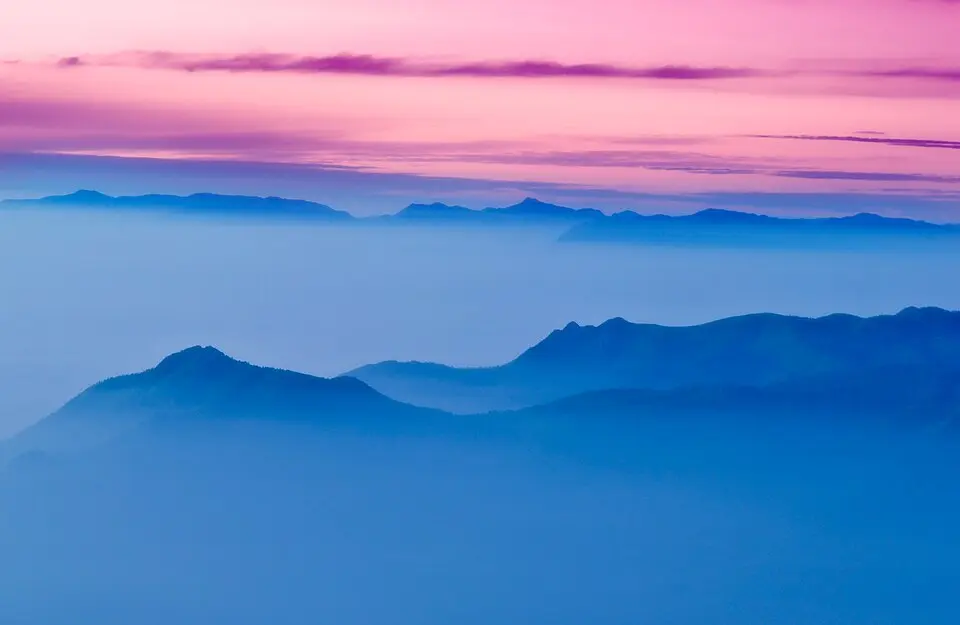
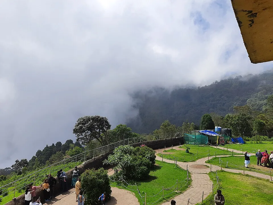
Tamil Nadu Tourism specifically names Silent Valley View as one of the best sunset spots in Kodaikanal — an unusual claim for an official government source about a free roadside viewpoint. Coaker's Walk also sees good evening light but closes at 7 PM. Green Valley View is accessible after hours and some visitors use it for sunset, though the western side of the plateau (which Silent Valley View and Moir Point overlook) catches the last light better. The caveat: mist returns in the late afternoon across most viewpoints, so "sunset" in Kodaikanal is frequently a white fog rather than a coloured sky — clear sunset conditions are less common than clear sunrise conditions.
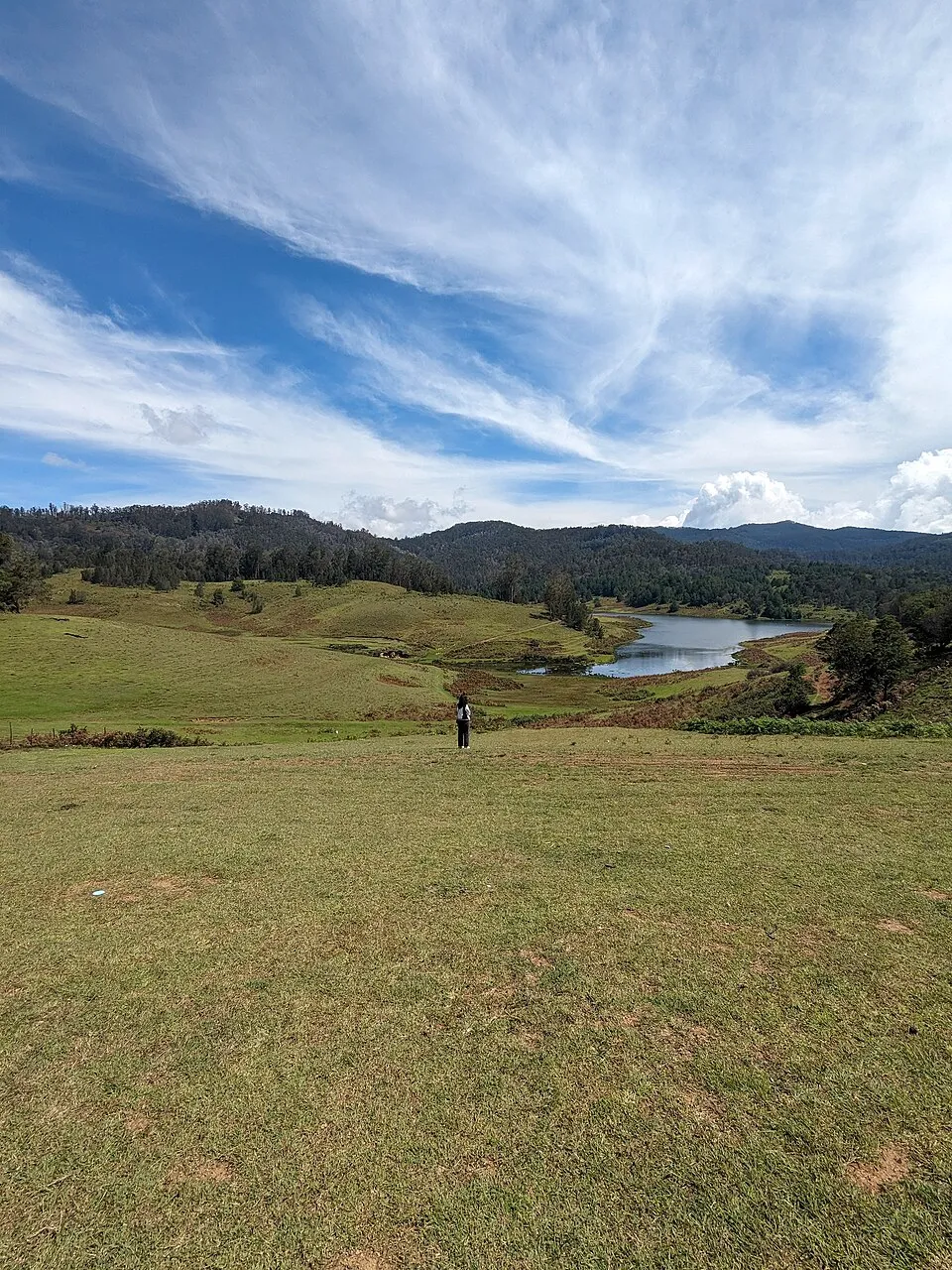
Is Mannavanur worth the 34 km drive?
+
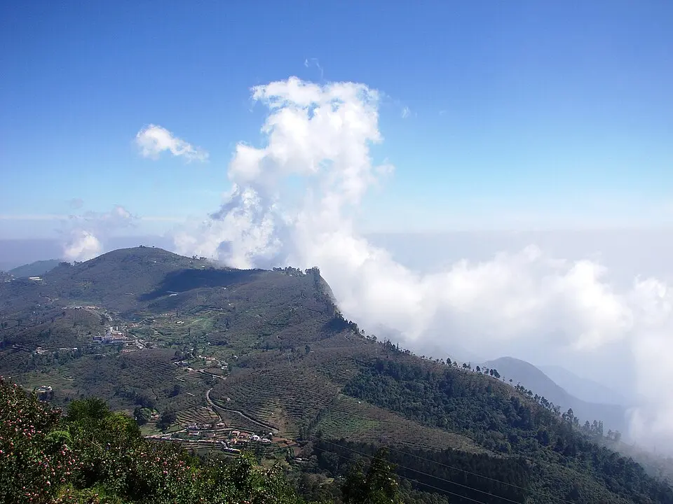
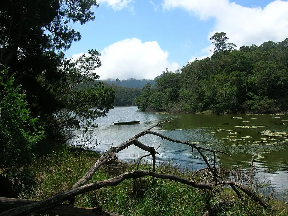
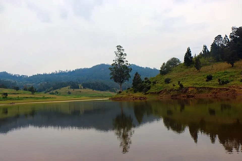
For travellers staying 2+ nights in Kodaikanal and wanting something genuinely different from the standard viewpoint circuit, yes — consistently. The visual register (open meadow, sheep, lake in a valley bowl) is unlike any other spot on the Palani Hills plateau. A TripAdvisor reviewer who made the trip twice over 13 years called it "packed with tourists now" on the second visit — suggesting it's no longer hidden but still much less crowded than the town circuit. It's not the right choice for a single-day trip where you need to maximise viewpoints per hour. It is the right choice for a full-day, slow-pace outing where the drive is part of the experience.
Do cameras work at all 10 viewpoints?
+
At 9 of 10, yes. The Kodaikanal Solar Observatory explicitly prohibits cameras inside the premises — flagged by the Holidify guide. Photography is allowed in the observatory grounds but not inside the buildings or instrument areas. All other viewpoints on this list permit photography. Coaker's Walk has a paid telescope at the midpoint. There are no drone restrictions specifically listed for these viewpoints, but local rules and forest area regulations may apply — check before flying.
What is the best season to visit Kodaikanal viewpoints?
+
October to March offers the clearest conditions across all 10 viewpoints. Post-monsoon clarity (October–November) is particularly good — the vegetation is fresh and green from the rains, but the heavy cloud of monsoon has lifted. December–January gives the coldest temperatures (5–8°C at night) and the highest chance of seeing Madurai from Coaker's Walk or the Mettupalayam plains from Dolphin's Nose. April–June (summer) is peak tourist season — views are good but crowds are significant at the town circuit viewpoints. July–September (monsoon): the viewpoints are frequently fog-bound; this is not the season for panoramic views though it has its own atmospheric character.